The Only Cades Cove Map & Loop Road Guide You’ll Ever Need
Print this handy guide out or bookmark it on your phone to ensure you see and learn about all the beauty in Cades Cove.
When you set out to explore the Great Smoky Mountains, you’re taking on a journey of endless sights and no less than a couple hundred views that will stop you in your tracks. The beauty is never ending, and recording every part of it is an impressive task. And while there is no way to choose a favorite sight or scene in the Smokies, we’ve been lucky enough to become well acquainted with one part that is extra special to us – Cades Cove.
This mountain-surrounded valley is a well-known treasure of the Smoky Mountains and can be considered one of many favorites in the park with both out-of-towners and locals visiting by the thousands. The 11-mile trip around the cove usually takes about 2-4 hours, and there’s a lot to see and learn about in that short distance and time.
Directions to the Loop Road
The Cades Cove Loop Road is an easy find. Heading towards the Great Smoky Mountains National Park from Gatlinburg on the Parkway, look for Sugarlands Visitor Center on your right. Once you pass the center, make a right turn onto Little River Road. Stay on this road for approximately 25 miles before meeting a dead end at the entrance of Cades Cove Loop Road.
Starting the Tour
The Loop Road is a one-way, paved road that runs alongside an old logging railroad track. Toward the left as you enter the road, there’s an orientation shelter where a helpful team of park rangers and staff is waiting to answer any questions you may have before beginning your exploration of the Cades Cove map.
What You’ll See Along the Loop Road
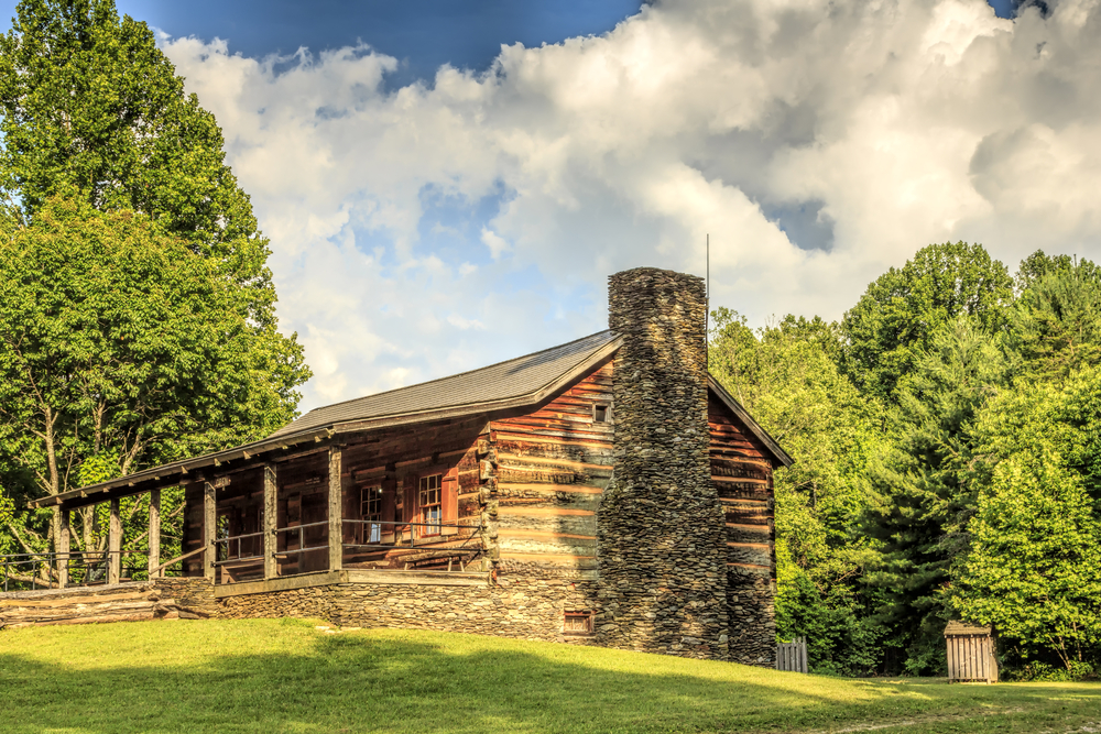
1 John Oliver Cabin
The first historical site on the Cades Cove map is the John Oliver Cabin. A testament to architecture of the past, this cabin is held together by notches in the wood frame and its own weight, requiring no nails or pegs to stay in place. It was in the Oliver family for more than a century before becoming a part of the national park.

2 Primitive Baptist Church
The first of three churches in Cades Cove, Primitive Baptist Church, is on the National Register of Historic Places and was the second church to be built in the cove. The congregation halted worship during the Civil War when their minister was forced to flee, but resumed service right after the war ceased.
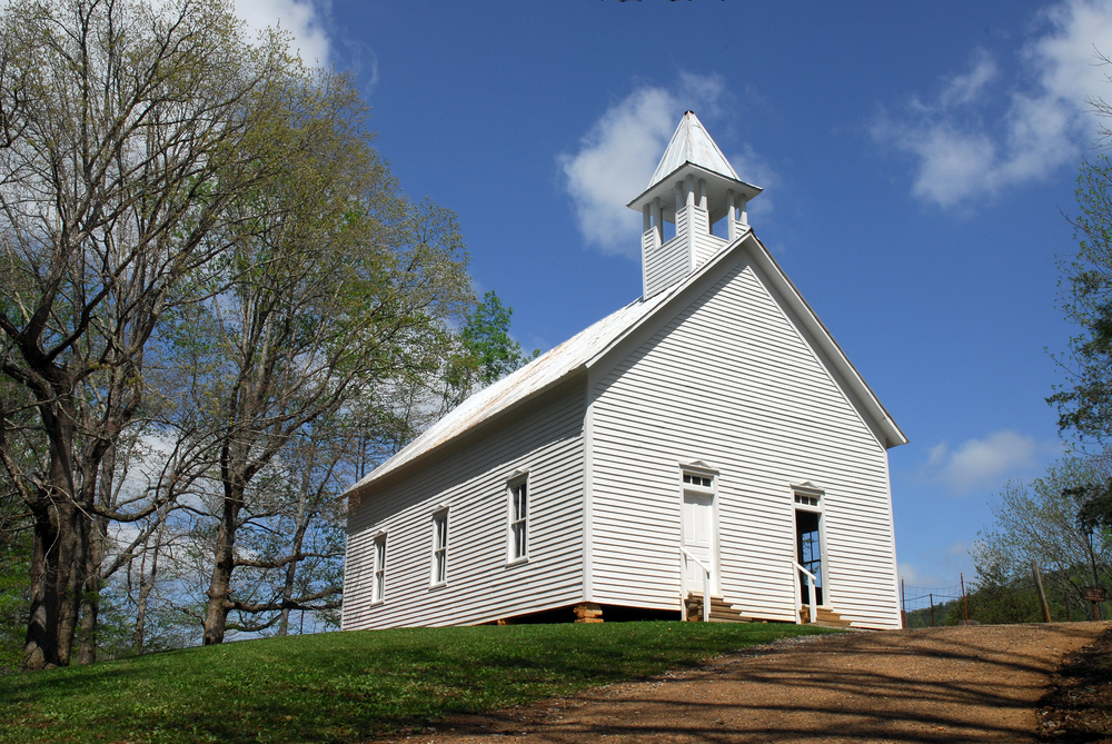
3 Methodist Church
The fourth historic building on our Cades Cove map is the Methodist Church. Built in 1820, the church was constructed by carpenter and eventual minister J.D. McCampbell.
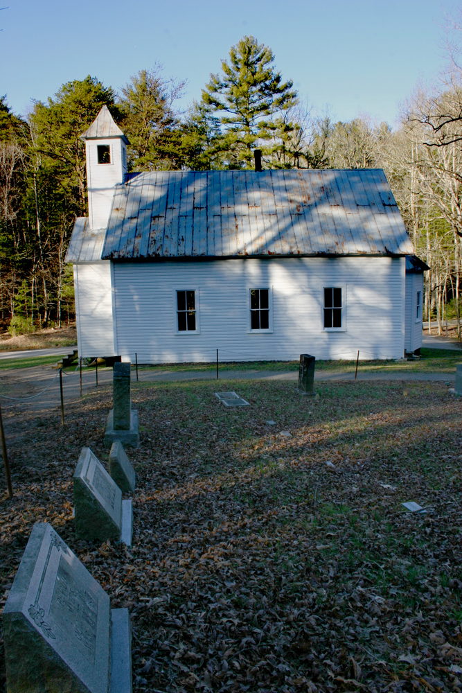
4 Missionary Baptist Church
Built in 1839, this church was formed when a portion of the congregation of the existing Baptist church split off to focus on missionary work. In the springtime, you can just barely make out “Co. 5427” written out in daffodils to the right of the church, planted by a member of the Civilian Conservation Corps.

5 Cooper Road Trail
Named for Joe Cooper, a settler credited with mass improvements to the wagon road, Cooper Road Trail is a moderately easy, 10.9-mile hike that takes you to the Abrams Creek campground. The hike features gorgeous nature scenes and interesting geological features.

6 Elijah Oliver Place
Elijah Oliver was the son of John Oliver (from the first cabin), and this was his home. Although Elijah fled during the Civil War, he returned to this spot on our Cades Cove map and called it home from then on.
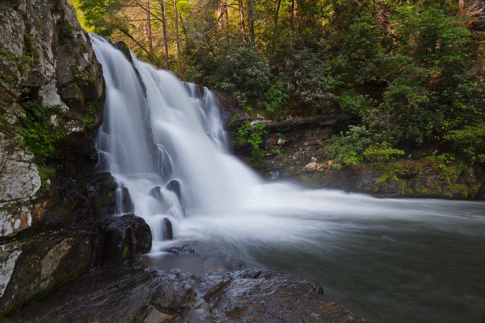
7 Abrams Falls
Shortly after passing Elijah Oliver Place, you’ll find the trailhead of Abrams Falls Trail. As one of the most popular trails in the entire Smoky Mountains, it leads to a 20-foot waterfall whose ferocity is unmatched anywhere else in the park. The trail is approximately five miles roundtrip and moderately easy.
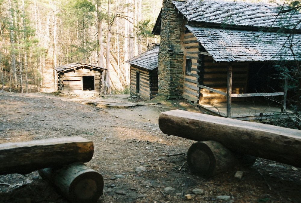
8 Cades Cove Visitor Center
Stop into the Cades Cove Visitor Center for a souvenir bag of flour from the grist mill, history books and anything else you can imagine. Modern restrooms are located to the left of the center.
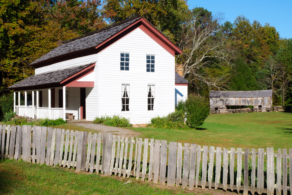
9 Cable Mill
This mill is worth the entire Cades Cove trip on its own, as Cable Mill is the only working grist mill in the Smoky Mountains. Historic buildings – barns, homes, a smokehouse, a blacksmith shop – are scattered around the mill, making this a worthy spot to stop.

10 Henry Whitehead Place
Henry Whitehead Place was the third of its kind in the park to be forged from log home and frame home styles, inspiring the term ‘transitional’ home. It’s also the only home of its kind still standing.

11 Cades Cove Nature Trail
The next stop on our map is a trail known for its blooming dogwoods in the spring. The trail is short and ideal for Cades Cove drivers who want to stretch their legs.

12 Dan Lawson Place
What piques your interest at this destination is the brick chimney. While chimneys of every kind are typical today, these were unheard of at the time. Every single brick was produced right in Cades Cove! Remodeling is also indicated by sawed lumber atop the original fitted logs.
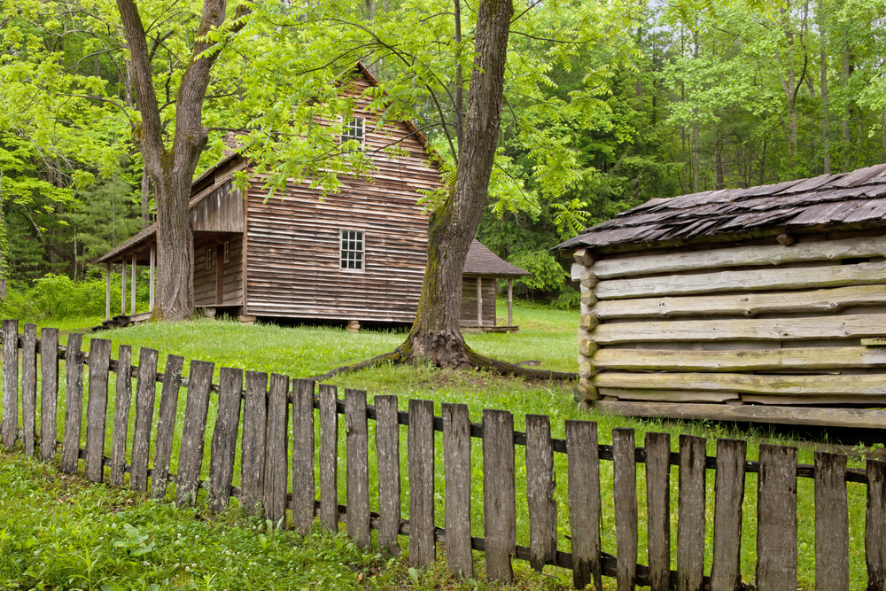
13 Tipton Place
Owned by Colonel Hamp Tipton, his daughters Lucy and Lizzie inhabited this home in Cades Cove where the two worked as school teachers.

14 Carter Shields Cabin
The last historic building on the Cades Cove map is the Carter Shields Cabin. Wounded at the battle of Shiloh, Civil War veteran George Washington ‘Carter’ Shields called this cabin home for only 11 years after returning from Kansas following the war.
Short on Time? Use the Cross Roads
During your tour of Cades Cove, you will notice two roads that cut through the middle of the loop that are open for motorists: Hyatt Lane and Sparks Lane.